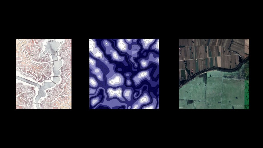
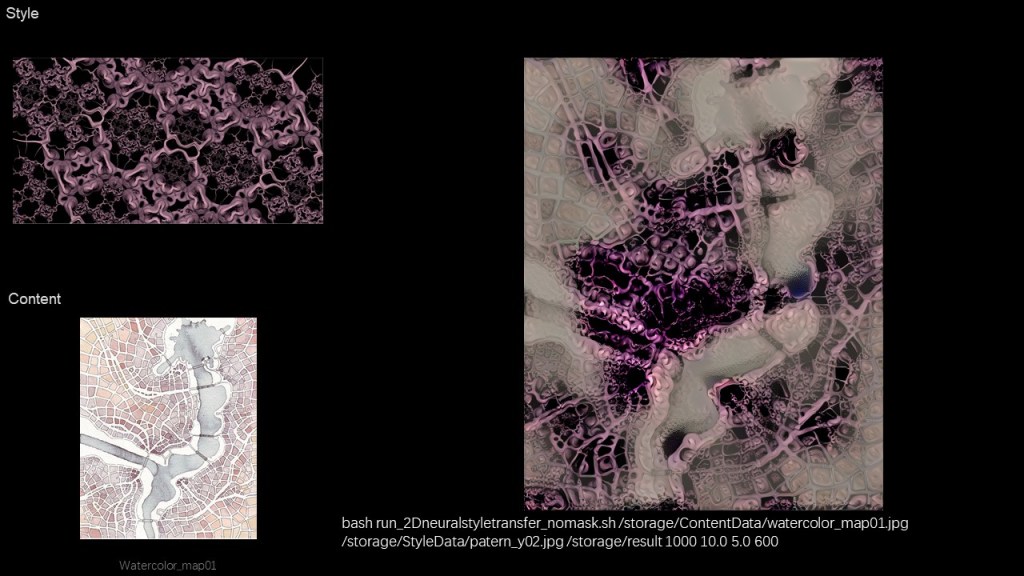
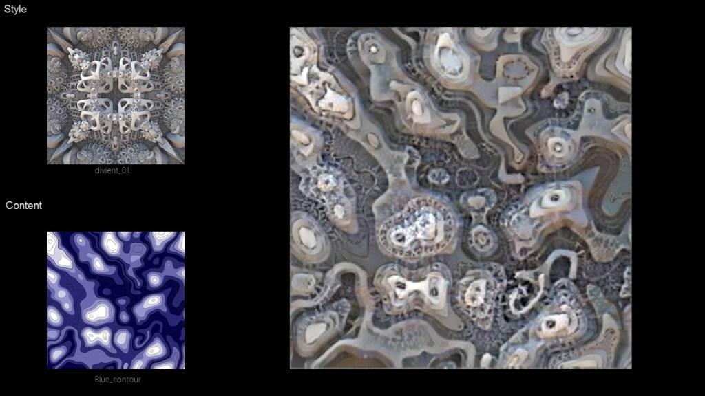
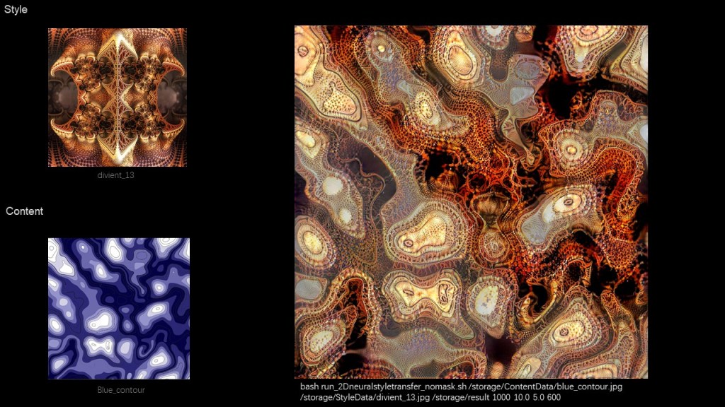
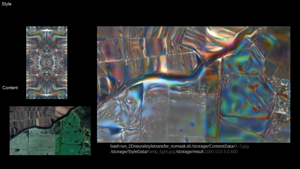
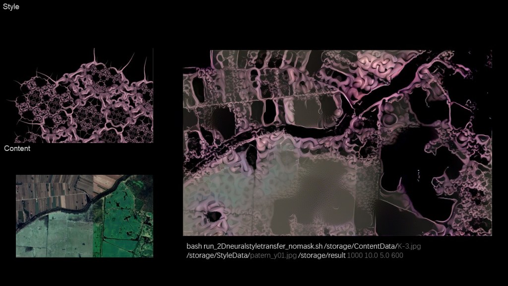
New paterns with clearer structure were applied to different map styles, watercolor grid, colored contour line, and satellite image as well.
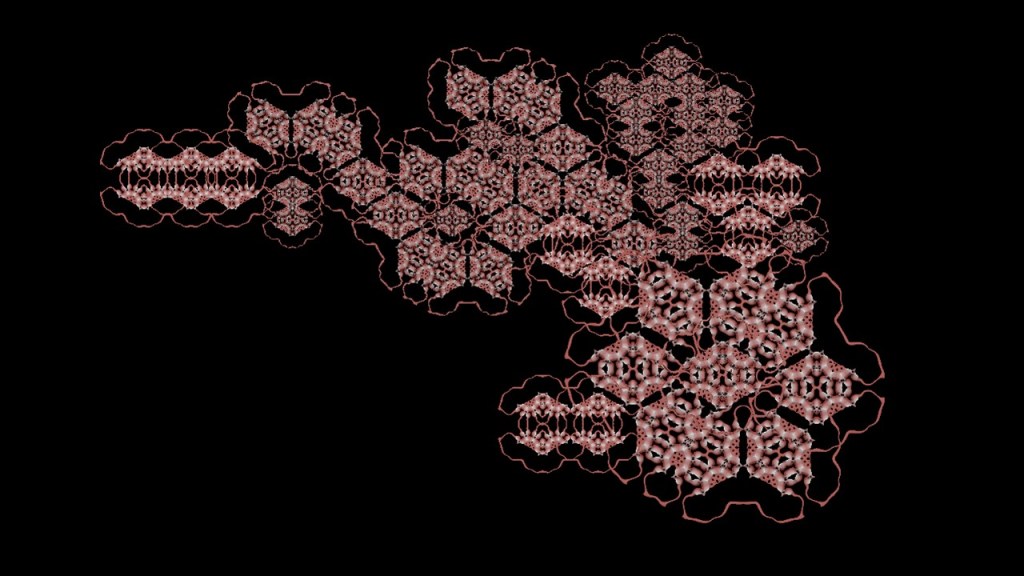
Before I create my own field patern, I find some image samples that might make sense. Subdivision paterns with clear structure works well.

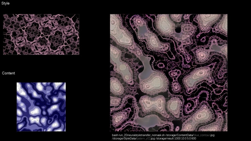
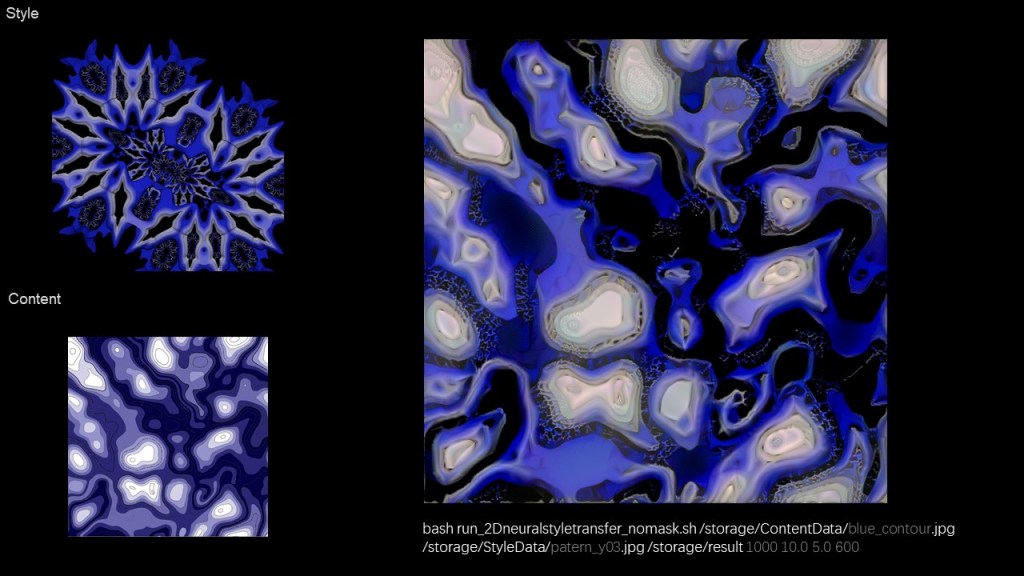


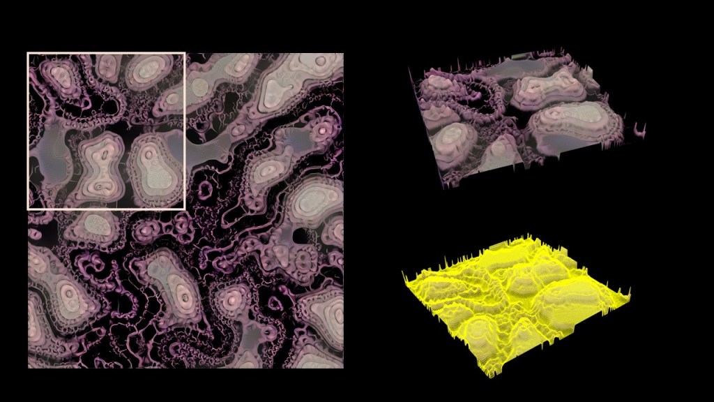
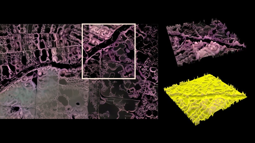

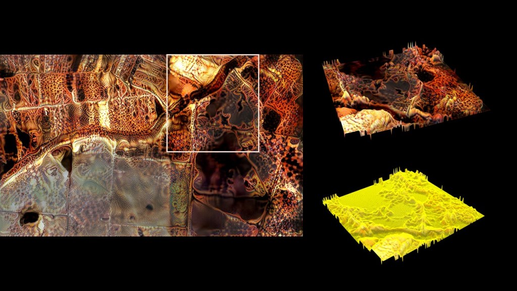


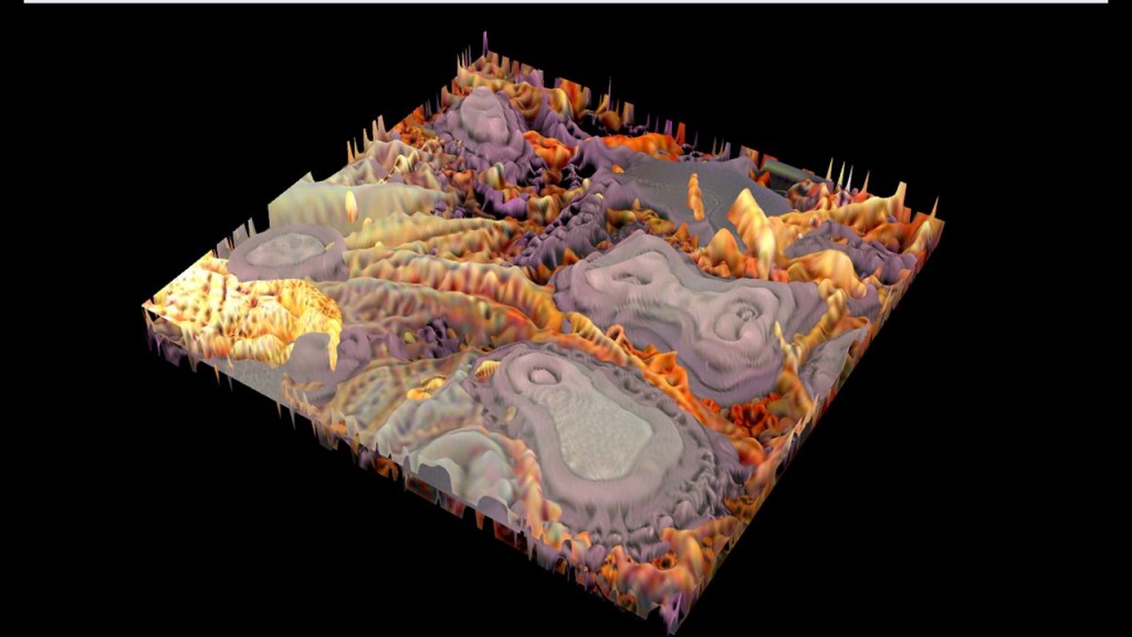
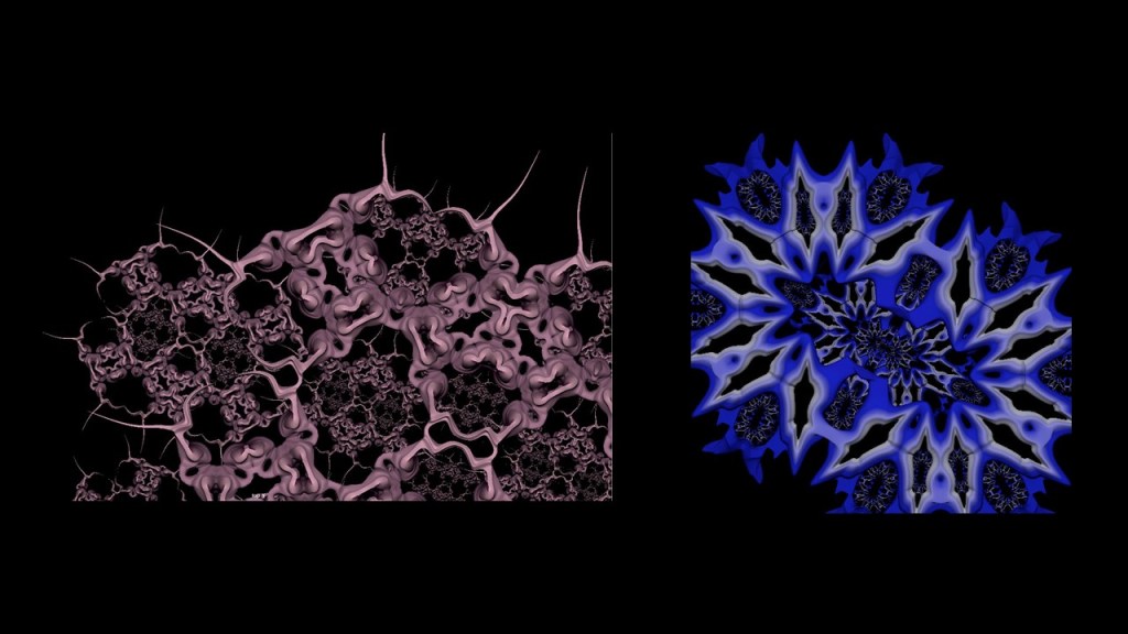
- Contour line to give the model a strong structure.
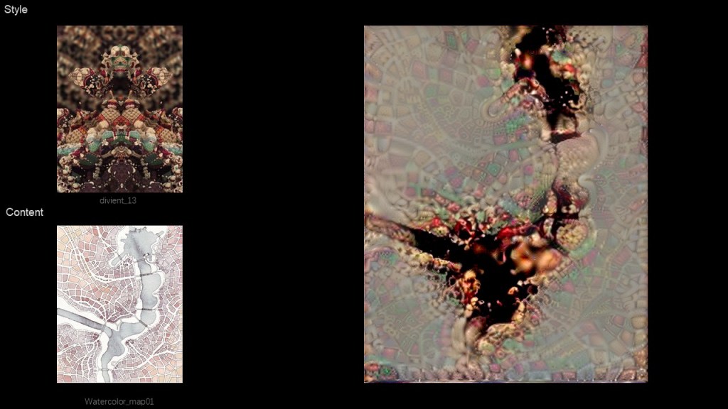
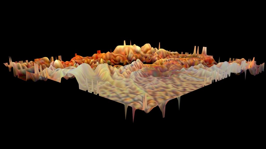
- Add several 3D images together as to merge different elements in the city.
- Take deep modifying into the ambiguous 3D image.
- Go back on research of the population and density of Xiong’an, and find out a reasonable shape that is unique for city X.
