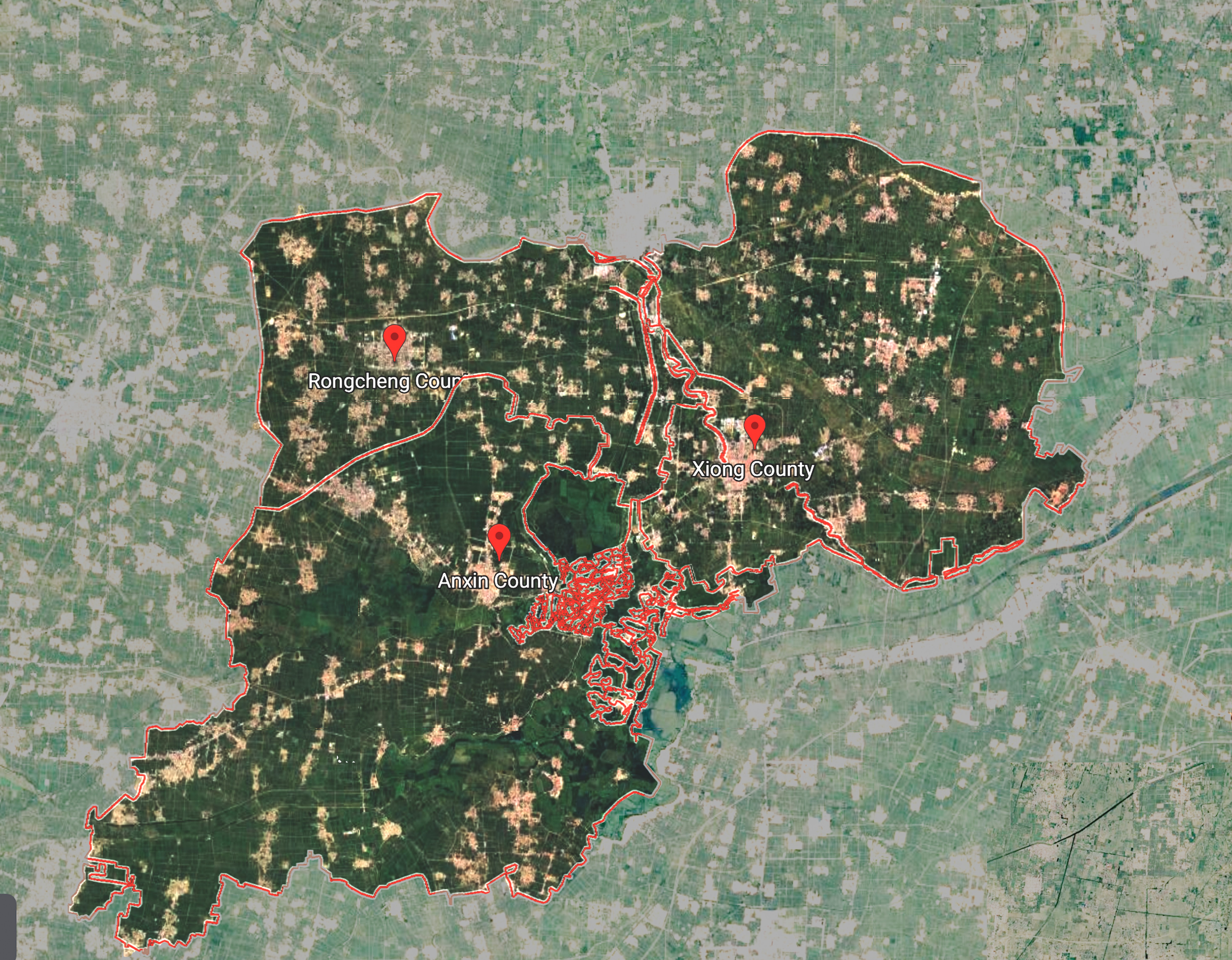
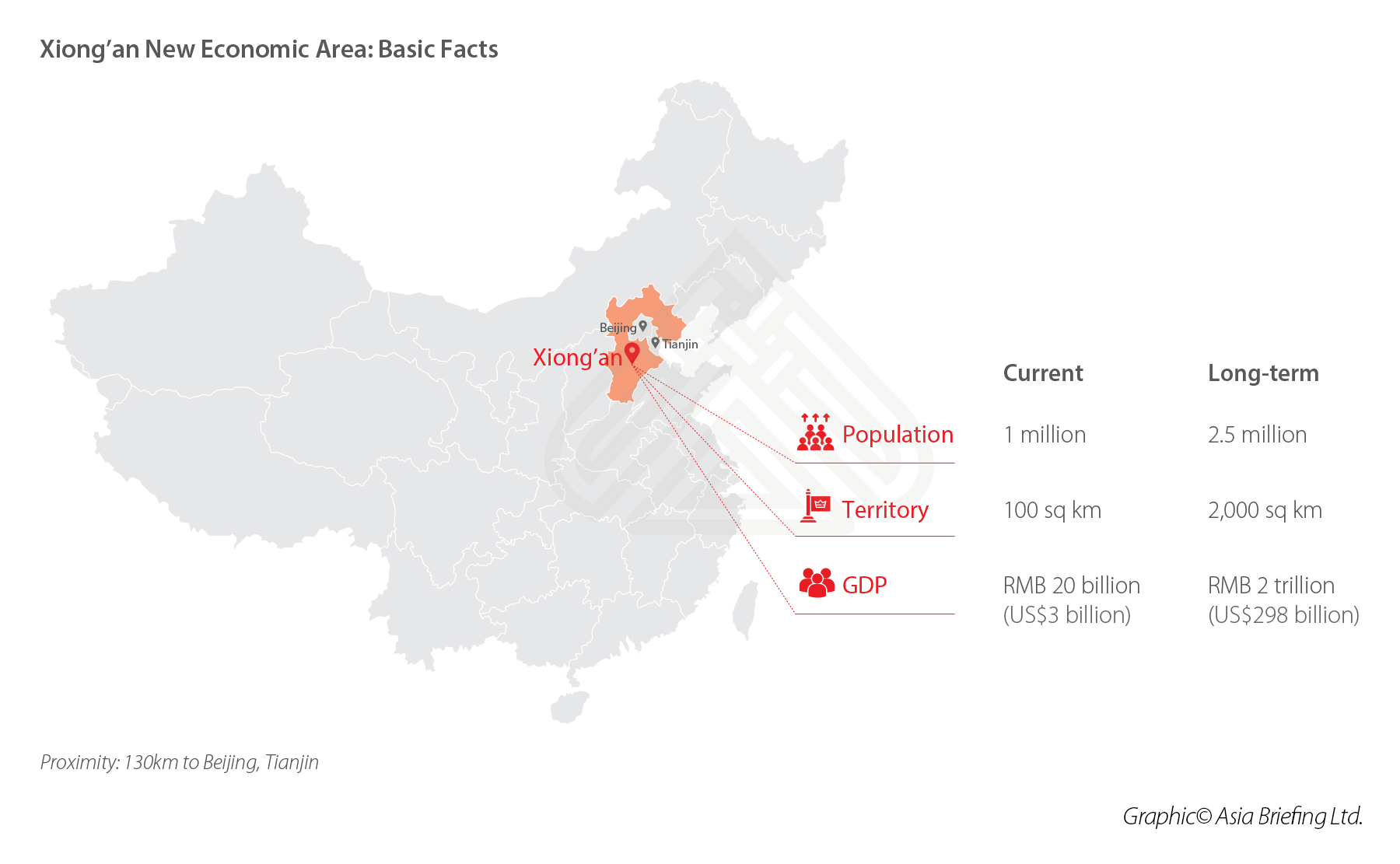
Xiong’An New City

Question : Disconnection of urban green spaces
Excessive Land-use for the Transportation Infrastructure and Car-parks in an urban context. That breaks the connection between green spaces and created a lot of isolated spaces.
Challenge
To MINIMIZE the land-use for transportation needs and MAXIMIZE the area for green spaces to ensure the sustainability of the ecosystem and the life of urban dwellers.
Research direction: Continuity of urban green spaces
Drawing focus onto the potential of pocket parks and green corridors in the process of creating urban green networks thus minimizing the transportation land use for more urban green spaces..
As urban population is rising each day, urban sustainability for healthy lifestyle is getting more important. The conservation of natural environment will be the main focus by creating an urban green space network that begins from the urban center to the peri-urban areas allows the wild species between isolated spaces in an urban context to stay connected. This helps to protect wildlife and threatened habitats hence enhancing the ecosystem. Sustainability of the urban environment and lifestyle is maintained by improving the relationship between human and the natural environment in a urban context.
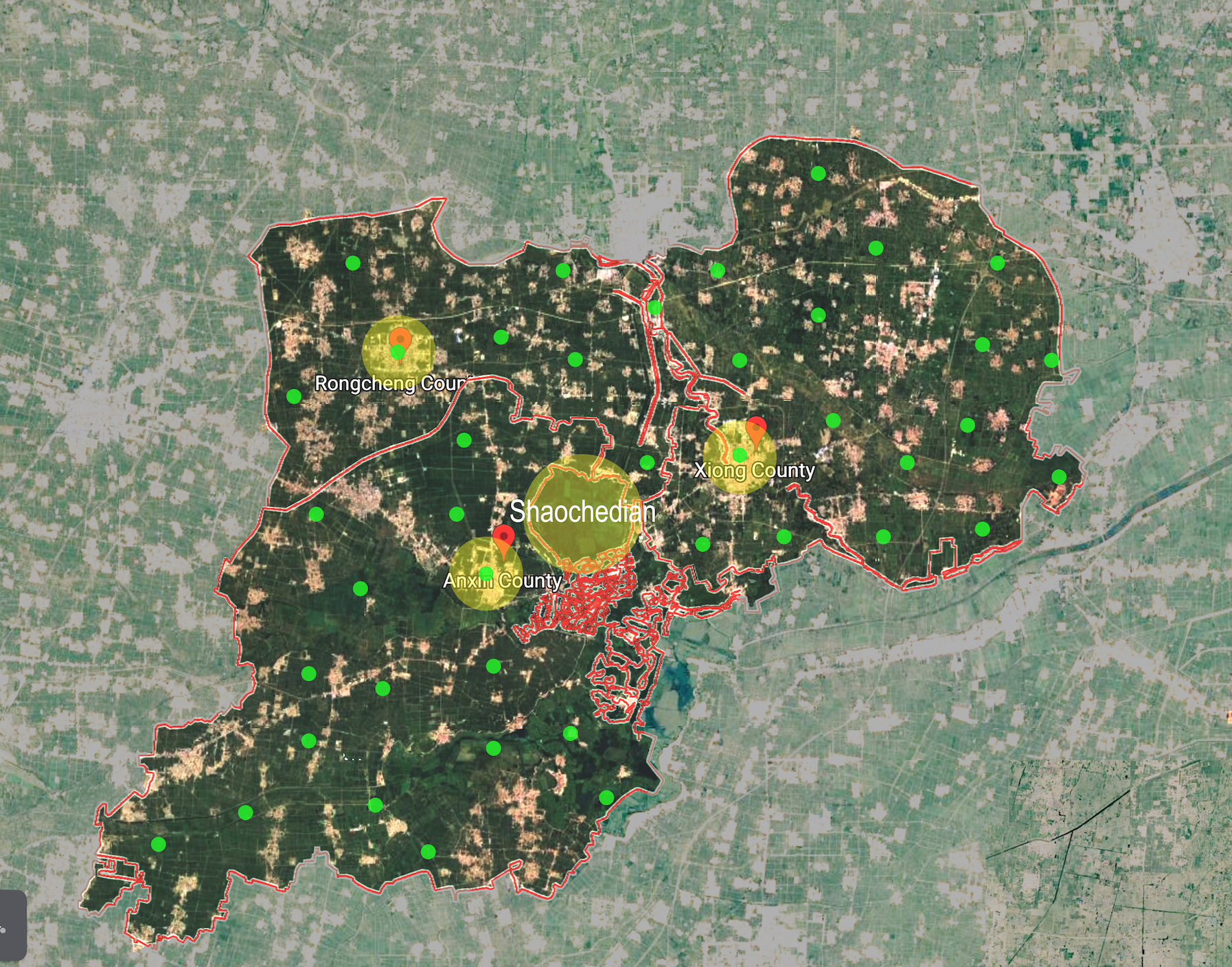
Shaochedian
Shaochedian is the intersection point of the three counties that form Xiong’an. It could possibly be the main centre point where urban green network originates.
Example of urban green space network
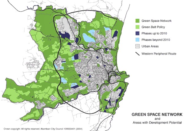
Aberdeen green space network
Pocket parks/ green spaces in Aberdeen are located not more than 1km from one another to make green spaces to stay connected.
Example of urban green space network
Hamburg green space network
Pocket Parks as the important connections to link urban green corridors to form an urban green space network.

(URL: https://newatlas.com/green-network-hamburg/31077/)
Application of machine learning
Application of created 3D geometries onto reference cities to learn from its urban texture and apply onto Xing’An city
How can AI and machine learning be applied to Xiong’An urban planning?
AI and Machine Learning can possibly help to create the overall most efficient urban green corridors and pocket parks by collecting the data from the internet/ cloud. This could help to maximize the urban green space by effectively minimizing the transportation land use.
Concept of Urban Fractal
Xiong’an can be broken down into urban fractals within each county that made up the new city. Pocket parks and one central park the main focus in each fractal in order to make the green spaces more connected from isolated spaces.

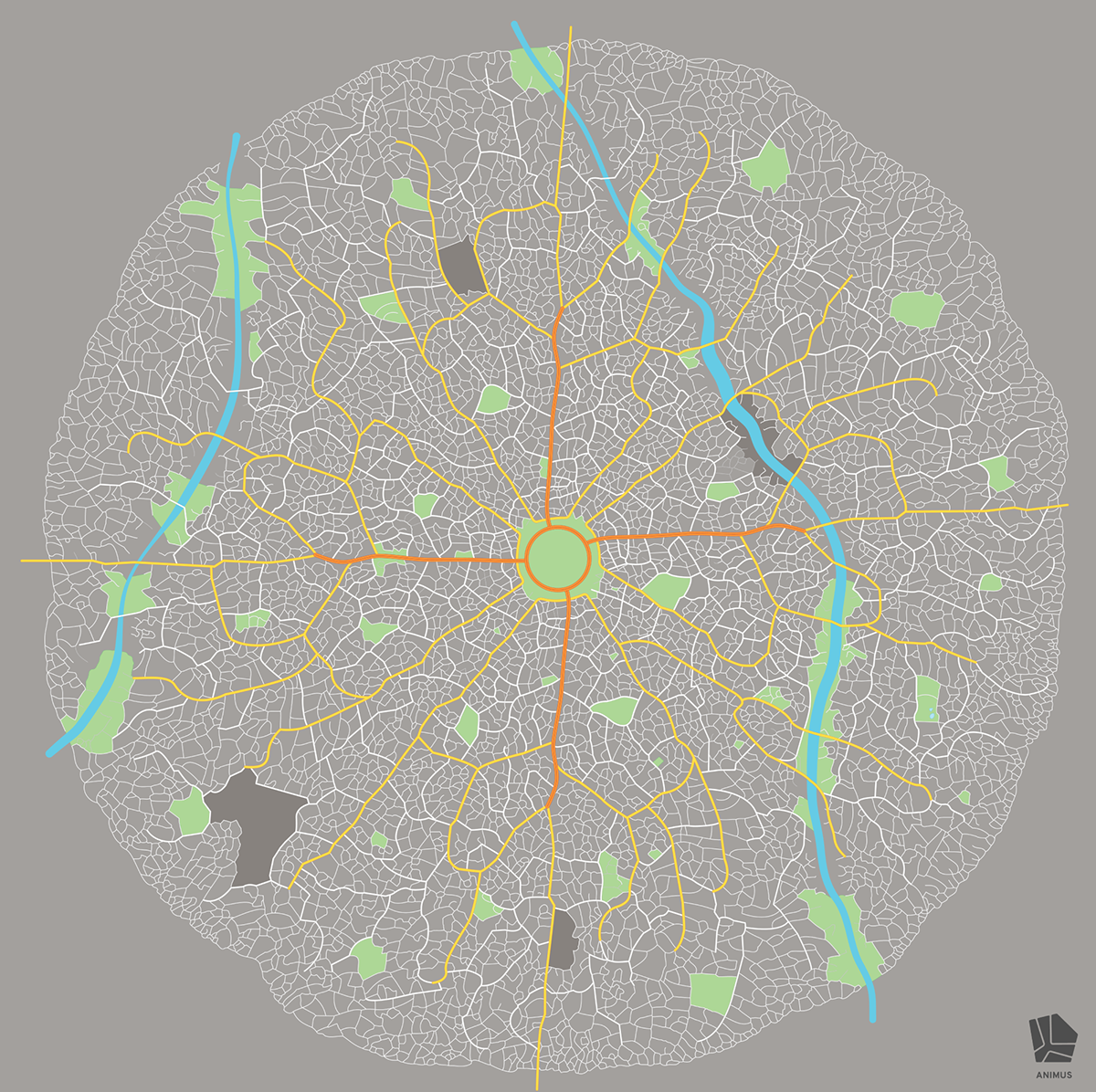
https://www.behance.net/gallery/48791435/Animus-The-Fractal-City
Application of ML onto Xiong’An
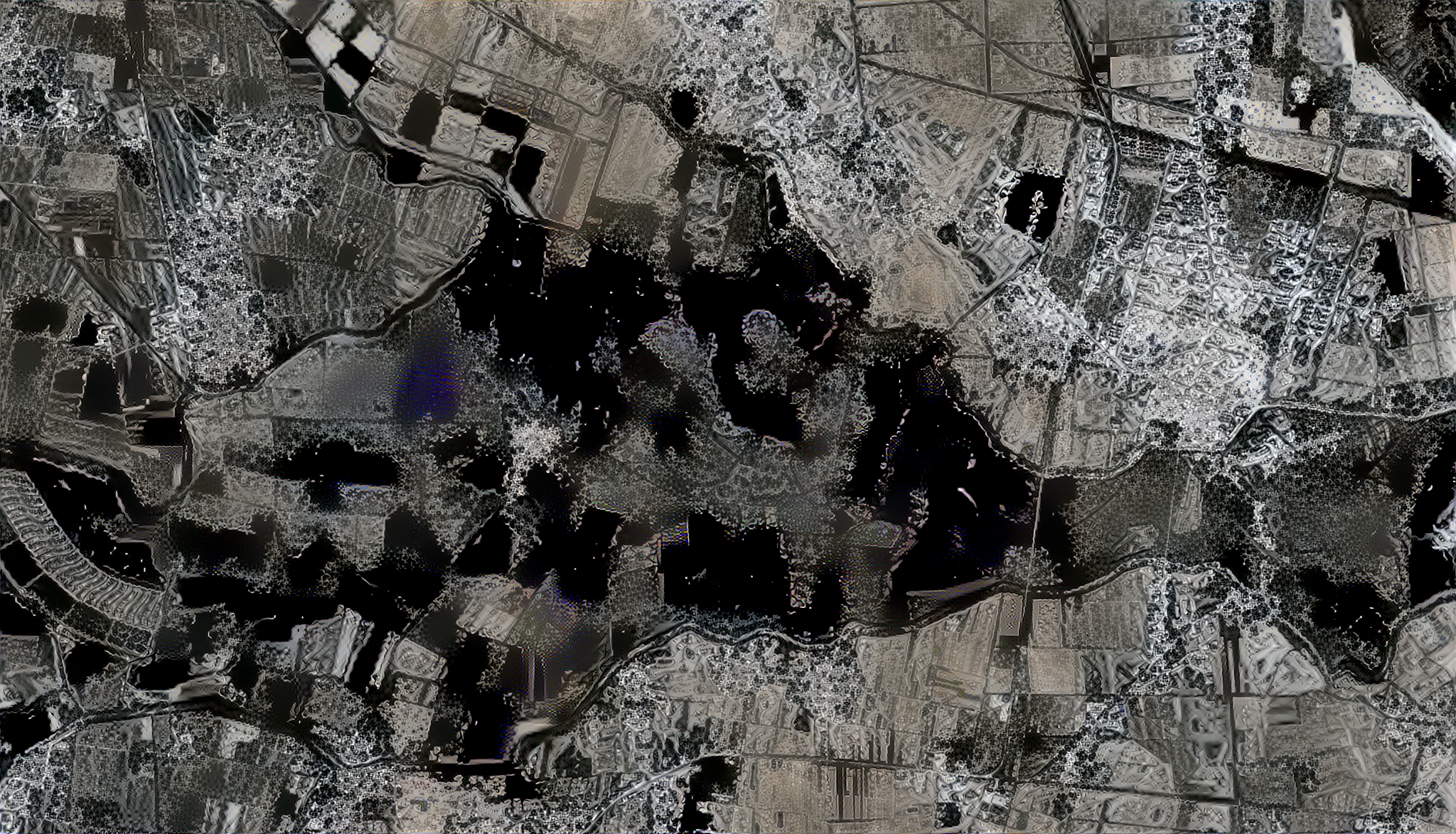
Anxin-L+ABD-S-Field6.4 2048-10-10-500 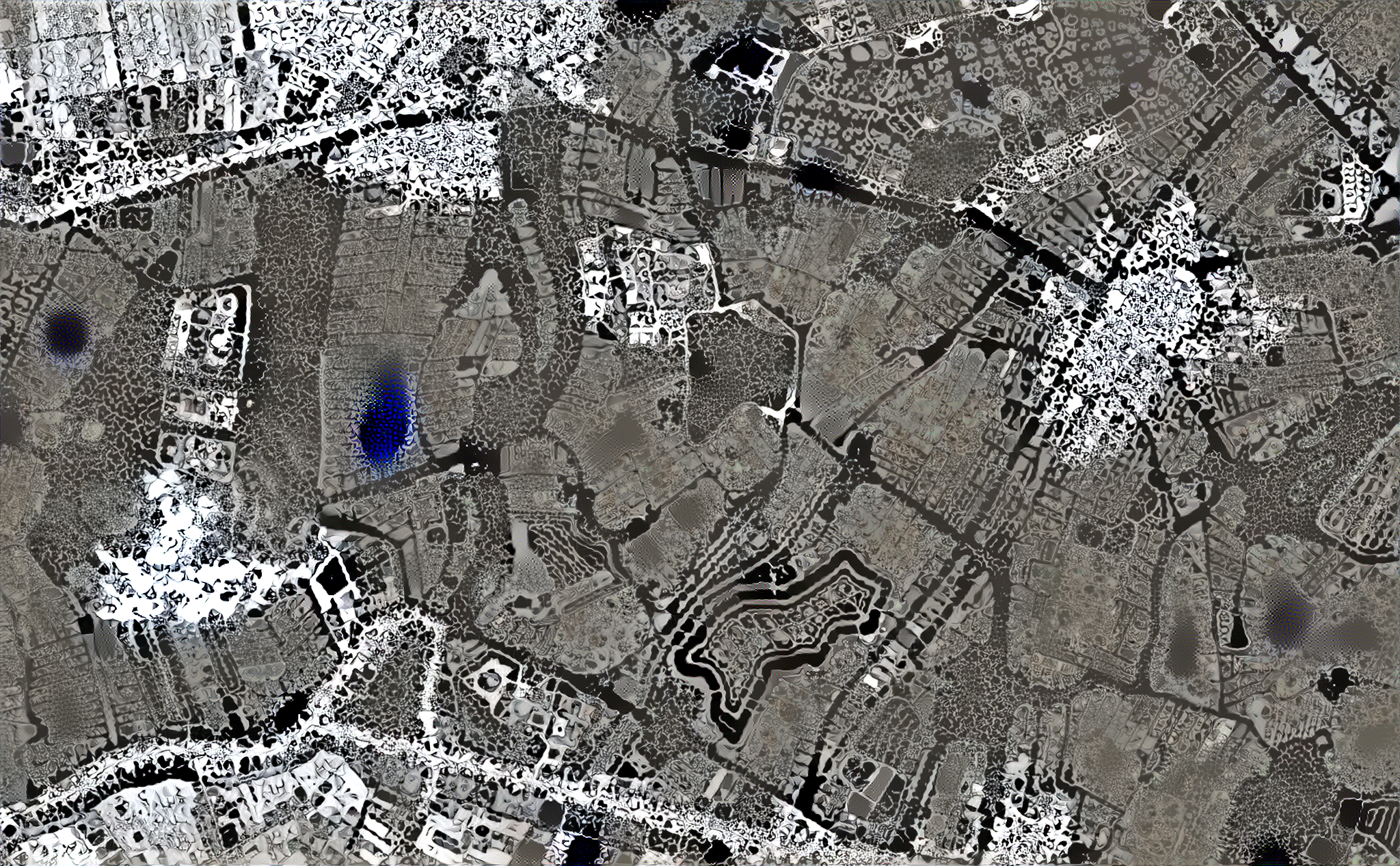
Anxin-M_SG-S-Field5 2048-10-10-500 
Baiyangdian-S_SG-S-Field5-zoom 1536-5-5-200 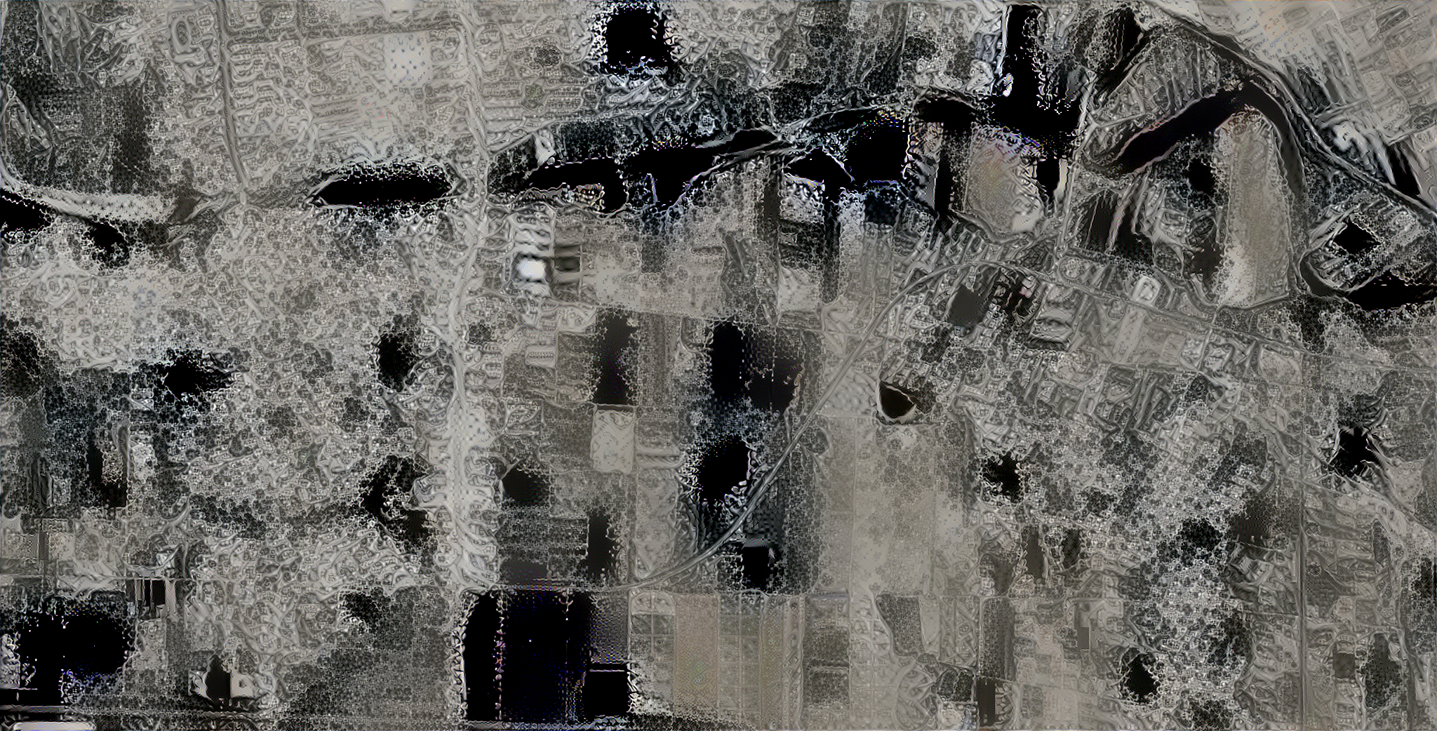
Xiong-M2_ABD-S-Field6.4 1536-5-5-200 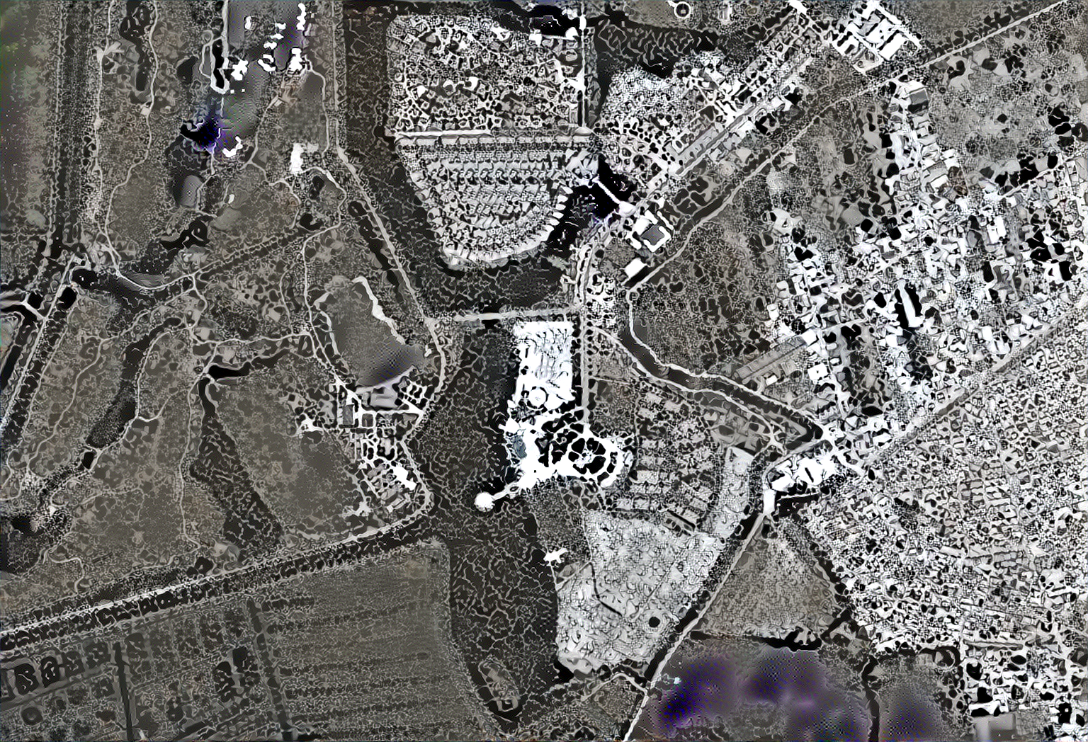
XIONG-S_SG-S-FIELD5-ZOOM 1536-5-5-200

