
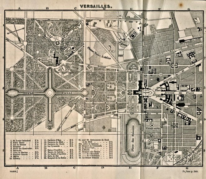
The city of Positano is situated on both sides on a steep valley, with a beach at the heart, as well as the lowest part of the city.

By exploring the area around Piazza del Mulini, in Positano, Italy. I have found…and generated several maps based on transportation, land use and AirBnB locations.

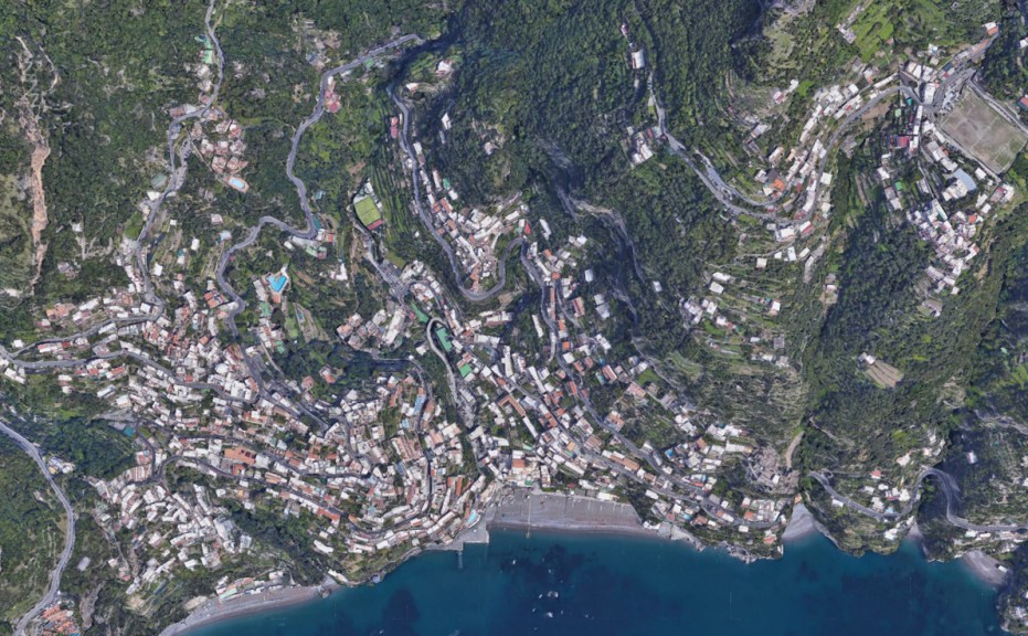

The transportation map above shows the two main artery streets for cars in the city. The SS163, represented in orange, is the outer city ring road that connects the city to the outside. The bus routes on SS163 also serves as local transportation, carrying people from one side of the valley to the other.Via Cristoforo Colombo serves as the inner city ring road, available for smaller buses and cars. It is mainly suited for local traffic, separating heavier traffic with the SS163.
People can get off either at the local or inter city bus station to visit Piazza del Mulini via public transportation. The walk path indicates how the area is easily walkable and accessible. However, the steepness can be difficult for elders and disabled people.
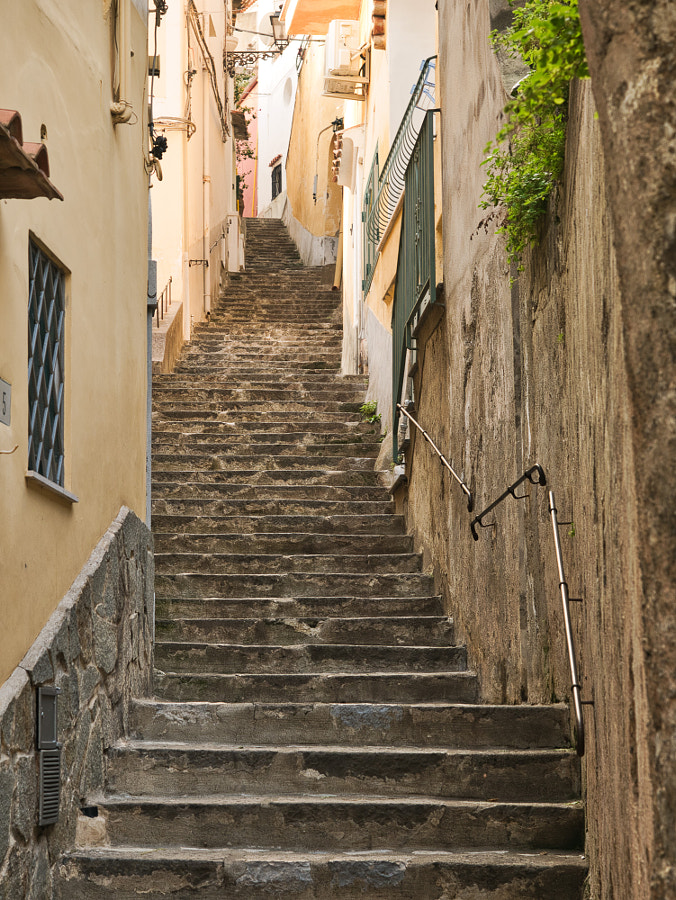
It is interesting to note that between the two bus stations there is approximately a 75 meter difference in elevation. Narrow sets of stairs in between buildings is one of the most interesting urban features of Positano.
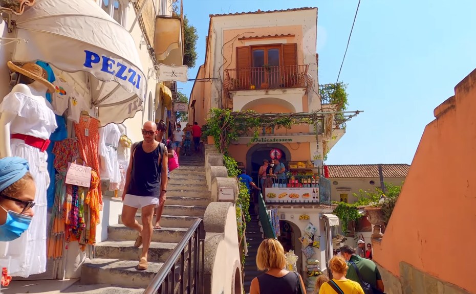
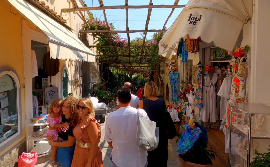
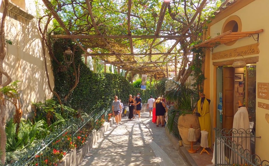
The reason why I choose the area around Piazza del Mulini is because I saw from Prowalk’s walking tour, a pedestrian path covered with vines, creating natural shade. One can reach there by going through plaza, it is about 170 meters long, and connects to the Church of Saint Mary.


To understand this area better, I made a land use map to denote several functions, including: general shopping, public space or institutions, designer fashion (high-end shopping), tourism/souvenir shops and hotels.
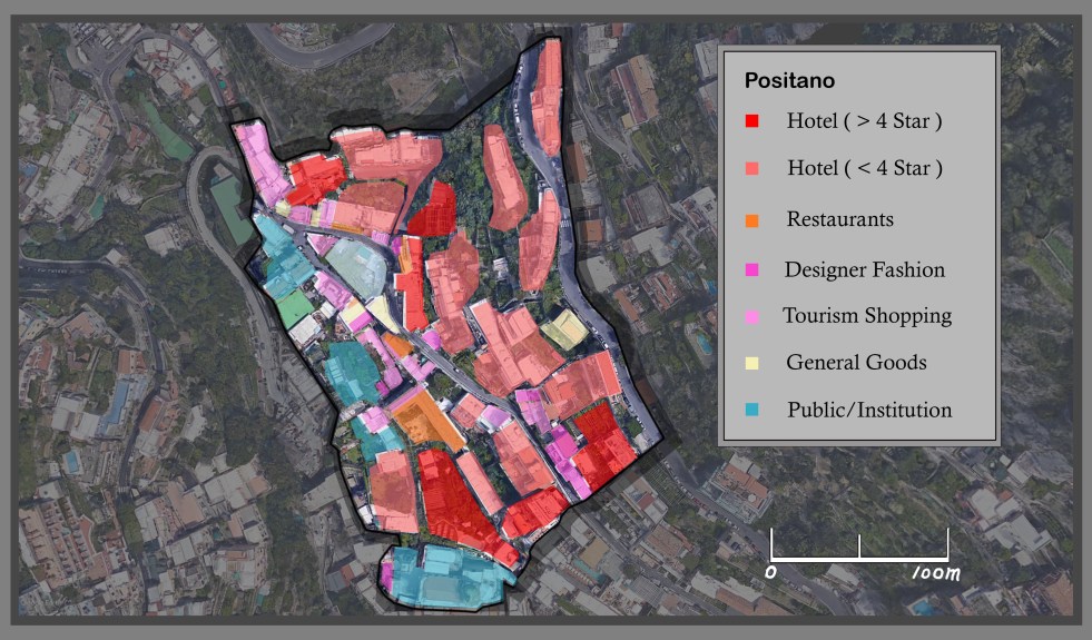
To compare AirBnb and conventional hotels, the map shows the distribution of AirBnb availability and the location of hotels. It appears that most AirBnb and hotels are one and the same. Offering a range of accommodation, including conventional rooms in hotels, private room in hostel/home of others or a more luxurious option of renting an entire suite.


Research Focus
Regulatory approach to understanding urban morphology.
Go through history of Amsterdam, Beijing, Paris, DC
How services are distributed ?
How public space is organized ?
Tackling future concerns of urban development
Overview of Design Strategy
Overview of Urban Morphology
Future ? Auto cars, green connectivity
‘ideal’ distribution of density?
evaluate density through to service distribution
Generate plan for Xiong An.
provide options for policy makers, different approaches towards urban growth, possibilities


—————-


Create initial pattern based on historical city centers, including main services. The services would be represented in different shapes and sizes in the pattern.
Apply pattern to neural transfer at limited scale—Neural transfer image #1 created
Then black out the area outside of #1, apply secondary pattern to created neural transfer image #area specific. Examine how new pattern absorbs onto the existing image.
Achieve continuity, consistency in urban design, style and patterns throughout the city.
How planned city have failed before. How Brasilia’s plan failed. How Xiong an can prevent the same fate.
